In Utah, a trail traces a long-lost lake
In Utah, a trail traces a long-lost lake
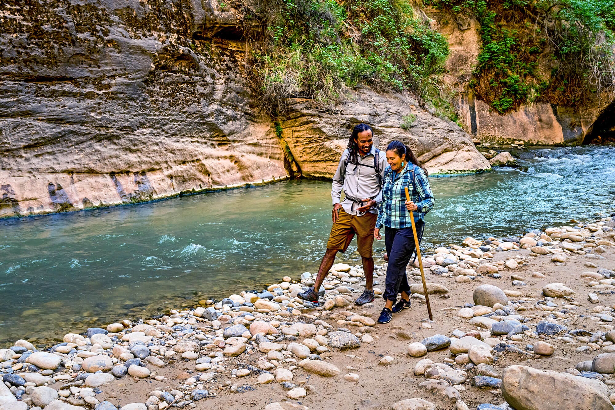
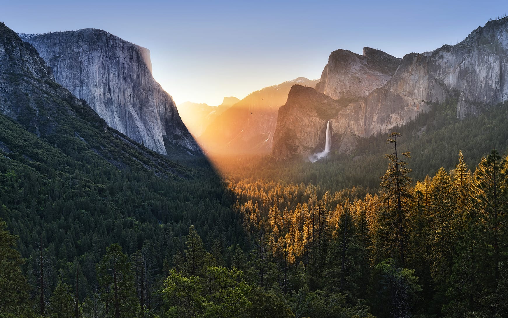
Utah residents have a peculiar park predicament. On the one hand, their state is famous for its spectacular natural landscapes—from the red canyons of Zion to the snowy peaks of the Wasatch Range. It boasts five celebrated national parks and world-famous skiing, mountain biking, and rock climbing.
On the other hand, Utah's demographics are far more urban than its outdoorsy image. For the two-thirds of the population concentrated in Salt Lake City, those big-name national parks are hours away—not exactly an option for a morning jog or lunch-break picnic.
So if you actually live in Utah, where do you go to get outside?

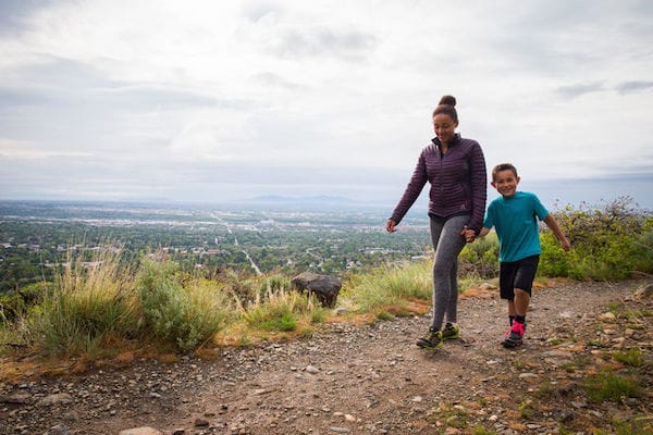
For many people, the answer is the Bonneville Shoreline Trail. If you're looking for the corresponding lake in your road atlas, you won't find it: the thousand-foot-deep Lake Bonneville disappeared more than 14,000 years ago. But it left its mark on the region's geology and the famous salt flats of the same name.
The trail—which currently runs 100 miles on the east side of Salt Lake City—got its start in the 1990s. With a housing boom underway, residents watched in alarm as development began to creep into the canyons above the city. They knew they had to move fast to combat sprawl and protect their quality of life. "It's now or never along the Wasatch Front," said a Trust for Public Land staffer at the time. "Once these canyons are subdivided, public access to the mountains will be gone."

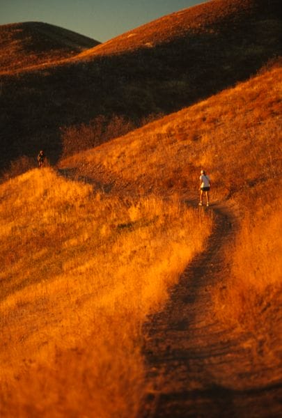
Since that first scramble to lock down public access, we've partnered with local government and conservation groups to protect nearly 2,000 acres for the Bonneville Shoreline Trail. Today, the multi-use route is an all-season asset, an easy-access option for snowshoeing and cross-country skiing in the winter and hiking, biking, and horseback riding when the snow clears.
But the story of the Bonneville Shoreline Trail is far from over. With your support and help from the Land and Water Conservation Fund, we're working to add access points and safeguard critical open space to surround and extend the trail. Ultimately, we envision a 280-mile-long path between the Idaho border and the heart of Utah—connecting 40 communities and limitless possibilities for adventure. You can help.
The Active Transportation Infrastructure Investment Program (ATTIIP) is a vital initiative that helps expand trails connecting people to nature and their broader neighborhoods. Despite this importance, Congress allocated $0 for ATTIIP in this year’s appropriations process. We cannot delay investments in safe, active transportation systems. Urge Congress to fully fund the ATTIIP!


Donate to become a member, and you’ll receive a subscription to Land&People magazine, our biannual publication featuring exclusive, inspiring stories about our work connecting everyone to the outdoors.
See how our supporters are helping us connect people to the outdoors across the country.

