Chattahoochee RiverLands
What We’re Doing
Creating 100 miles of new trails and parks, connecting 19 cities across 7 counties, and building 42 water access points and 8 campsites.
Our Goal
Ensure every person in the metro Atlanta region has access to the benefits and joys of the outdoors.

-
Loading projects...

-
-
-
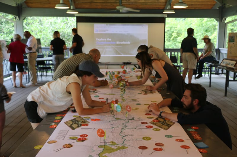
The Chattahoochee RiverLands Greenway Study was managed by a joint Project Management Team (PMT) consisting of the Atlanta Regional Commission (ARC), Trust for Public Land (TPL), Cobb County, and the City of Atlanta. The project was designed in collaboration with the Chattahoochee Working Group (CWG), a collection of stakeholders, residents, and political officials working within the study area.
-
Transforming a River from Endangered to Extraordinary
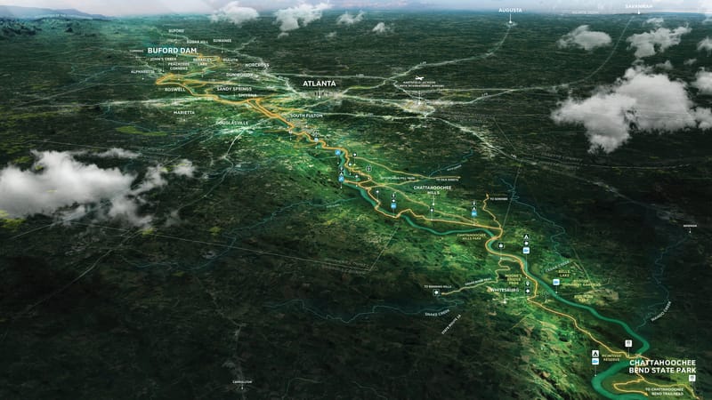
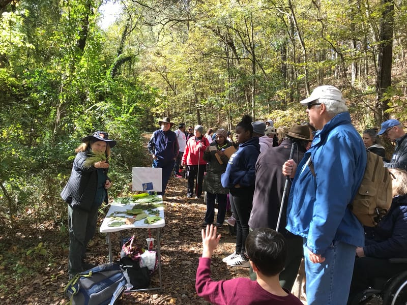
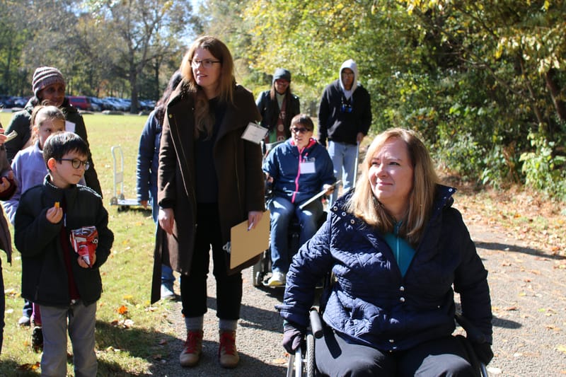
What does it take to transform a river corridor from endangered to exemplary? Spanning 100 miles from Buford Dam north of Atlanta to Chattahoochee Bend State Park, the Chattahoochee RiverLands is a network of greenways, a blueway (the river itself), tributary trails, and parks—all working together to connect people to the outdoors. When completed, it will link 19 cities and seven counties and include 42 water access points and eight campsites. No wonder it’s on track to be Atlanta’s—and Georgia’s—defining public space for generations to come.
But this project isn’t special just because it is massive and transformative.
This stretch of river is profoundly important as an everyday joy to those who helped shape it—and those who will enjoy it for years to come. It is through their eyes and experiences that the project’s scope and impact are best conveyed. These are a few of their stories and the outcomes they illustrate.
The River You See; The Divides You Don’tTwo families with opposing politics but one shared conservation ethic—to protect a river and transform the future—prove that, sometimes, red and blue make green.
A Buck Doesn’t Go as Far as It Used To. Except At TPL...Where It Goes Further.These days, everywhere you look, the value of a dollar seems to be going down. So when it comes to charitable donations, it’s more important than ever that your contributions make a meaningful impact. That’s why starting this week, we’re matching every dollar you donate to ensure critical projects, just like the ones below, get the funding they need.
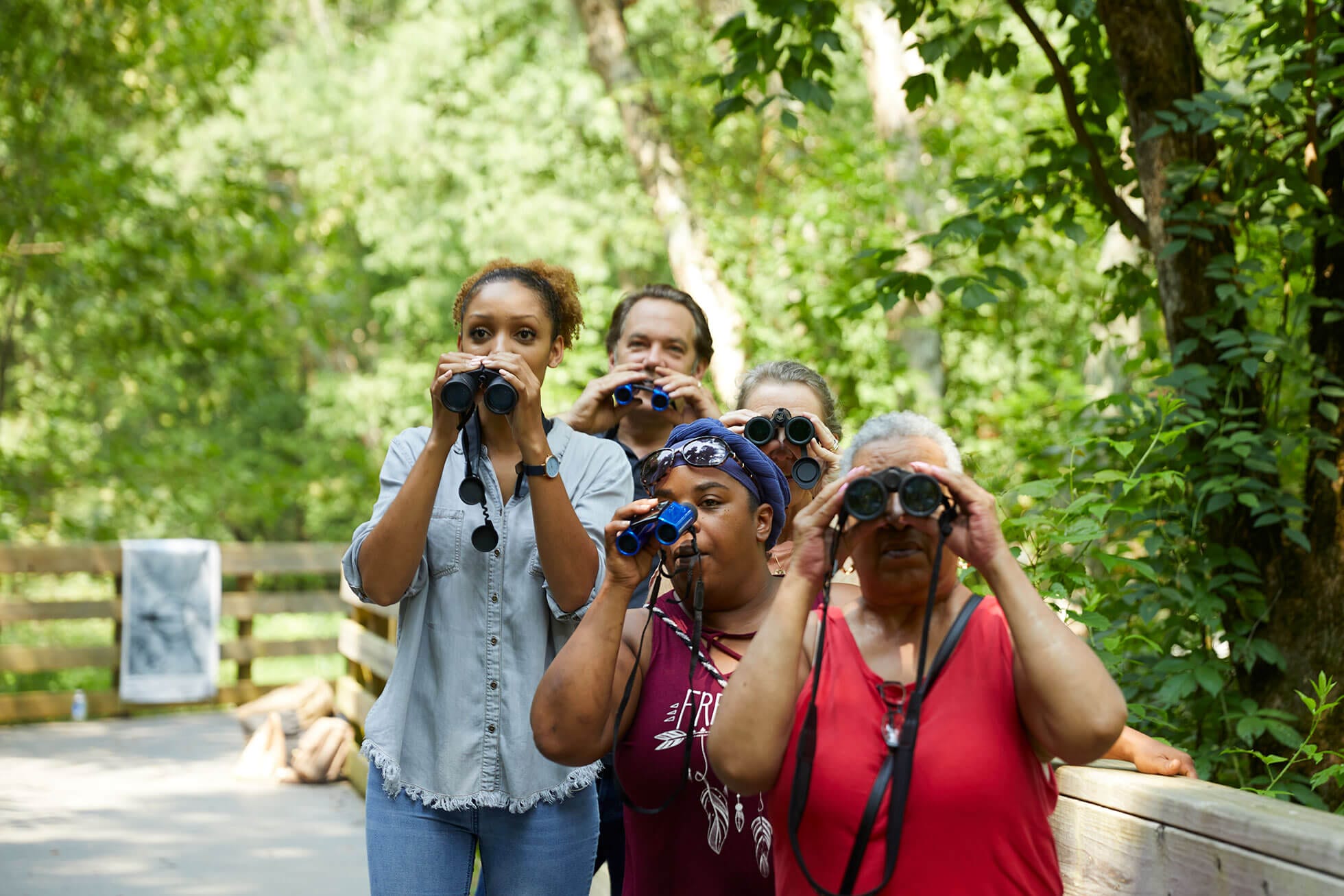
Birds—and Birders—Are Your Extended FamilyBirds are like family—no, really. They appear at memorable times in your life, visit you again and again, and give you a special feeling of connectedness in an otherwise disjointed world. If not relatives, they can definitely feel like old friends: grounding us in place, adding warmth to our experiences, making us smile, and creating a sense of gravity by their mere presence.


600 West Peachtree St. NW
Suite 1840
Atlanta, GA, 30308
(404) 873-7306
[email protected]
470-571-1814
[email protected]