Park Data Downloads
Complete U.S. ParkServe® Dataset
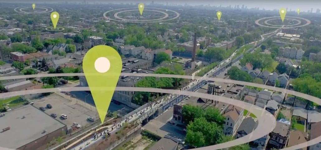
The ParkServe® dataset includes data for over 15,000 cities and towns across the U.S. and can be downloaded in a variety of formats. The data downloads include park polygons, park 10-minute walk service areas, park priority areas, places and urban areas, and trails and playgrounds in parks, as well as a complete data schema. The documentation contains detailed descriptions of our methods. Please click on the links below to begin your download and be sure to review the applicable Legal Disclosure and Terms of Use below.
- Shapefile (Including data schema)
- Esri File Geodatabase (Including data schema)
- ParkServe® Technical Documentation
- ParkServe® MapServer
- ParkServe® Legal Disclosure and Terms of Use
Download Historic ParkScore® Rankings
Trust for Public Land’s ParkScore® index is the national gold-standard comparison of park systems across the 100 most-populated cities in the United States. Published annually, the index currently measures park systems based on five categories: access, investment, amenities, acreage, equity.
- 2026 ParkScore® Rankings
- 2025 ParkScore® Rankings
- 2024 ParkScore® Rankings
- 2023 ParkScore® Rankings
- 2022 ParkScore® Rankings
- 2021 ParkScore® Rankings
- 2020 ParkScore® Rankings
- 2019 ParkScore® Rankings
- 2018 ParkScore® Rankings
- 2017 ParkScore® Rankings
- 2016 ParkScore® Rankings
- 2015 ParkScore® Rankings
- 2014 ParkScore® Rankings
- 2013 ParkScore® Rankings
- 2012 ParkScore® Rankings
Download City Park Facts Data Tables
Every year, Trust for Public Land compiles data on parks in the nation’s 100 most populous cities. It’s the most complete and in-depth look at U.S. city parks systems – and it’s free to download.
Explore data via the interactive Tableau dashboard or click the download links below.
- 2026 Amenities & Facilities
- 2026 Acreage & Park System Highlights
- 2026 Staffing, Spending, Volunteers
- 2026 City Park Facts Data Tables (zipped folder of all above tables)
- 2010-2026 City Park Facts Data Tables (zipped folder of all tables)
- City Park Facts Methodology
- 2026 Investment & Economic Trends