Ventura River Parkway

Just north of the City of Ventura, sits vacant land once zoned for industrial use, but look a little closer and you’ll realize this vacant land is teeming with opportunity and ready to become a destination for neighbors and visitors who love the outdoors.
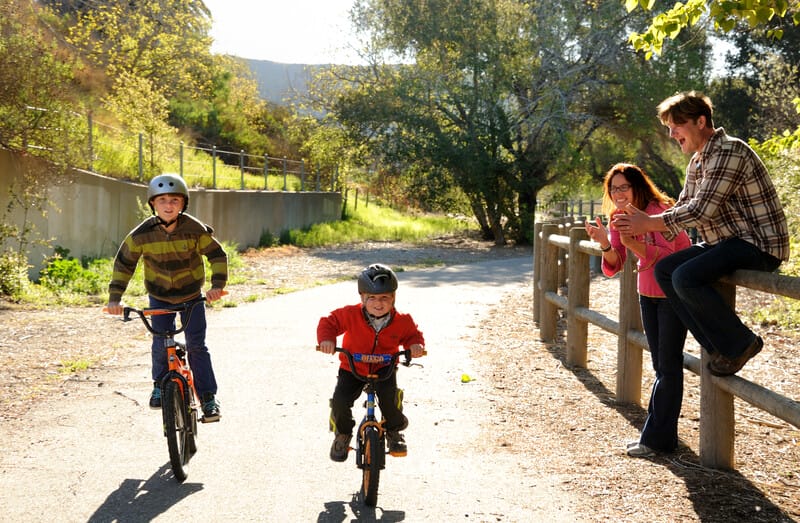
In 2008, The Trust for Public Land teamed up with the State Coastal Conservancy and Cal Poly Pomona to outline a vision for the Lower Ventura River Parkway. The Ventura River Floodplain Acquisition Project protects the 28-acres that sits adjacent to the Ventura River, a renowned critical habitat for the endangered southern steelhead and southwest willow flycatcher. This same property cuts directly across the already existing Ventura River Trail, known for its recreational and wildlife viewing opportunities for residents and traveling nature lovers. The trail is part of a larger network of trails along the coast, linking Omer Rains Trail with Ventura County’s 9-mile-long Ojai Valley Trail, creating a nearly 20-mile network of multi-use trails from the Pacific Ocean, along the Ventura River and to downtown Ojai.
In partnership with the Ojai Valley Land Conservancy, The Trust for Public Land will oversee the habitat restoration and public access of the property. Thanks to our partners’ collaborative efforts on this project, the communities of North Ventura Avenue and The Westside Community of Ventura will also have enhanced access to the Ventura River Trail. A public bus stop located at the entrance of the site on North Ventura Avenue allows visitors an easy way to enjoy the many benefits of spending time in nature.

