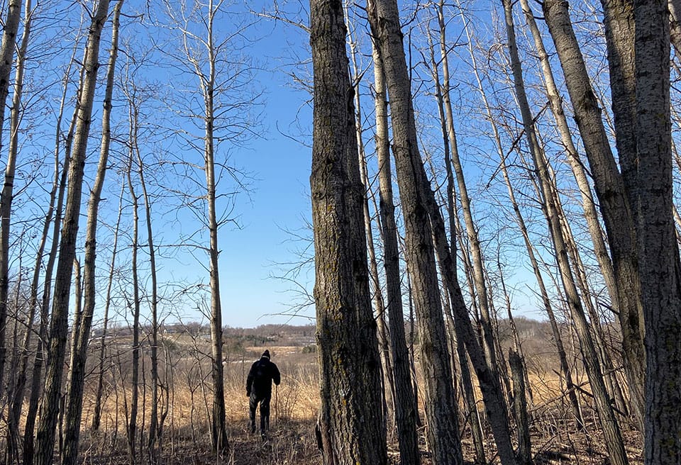
Shields Lake Overlook

The Trust for Public Land has acquired and conveyed 137 acres of land to the Minnesota DNR as an addition to the Boyd Sartell Wildlife Management Area (WMA). Located within a quarter mile of the northwestern shore of Shields Lake, the headwaters of the Cannon River, this property is a mix of wetland, grassland, and forested habitat with a half-mile of creek shoreline. The acquisition of this land not only protects the headwaters of the Cannon River, but the topography provides excellent views of Shields Lake. Shields Lake Overlook adds on to the 227-acre’s TPL protected in 2013, this acquisition continues to expand the amount of land protected through the Boyd Sartell WMA. Permanently protecting this land provides additional public access opportunities, it will improve water quality of the watershed, and provides additional lands for quality outdoor recreation and hunting opportunities.
The acquisition was funded by the Outdoor Heritage Fund. The Trust for Public Land helped lead the campaign to establish the Outdoor Heritage Fund as part of the 2008 Legacy Referendum that provides dedicated sales tax funding for the environment.

