Murphy WMA

The Cannon River slowly meanders across gently sloping cropland areas as it heads east through the historic mill towns of Faribault, Northeld, and Red Wing before it empties into the Mississippi River. Located just an hour south of the Twin Cities, the Cannon River watershed has suffered significant habitat loss and degradation, as well as water quality impairment, as it has been converted from its’ predevelopment “Big Woods” habitat into intensive monocrop agricultural fields.
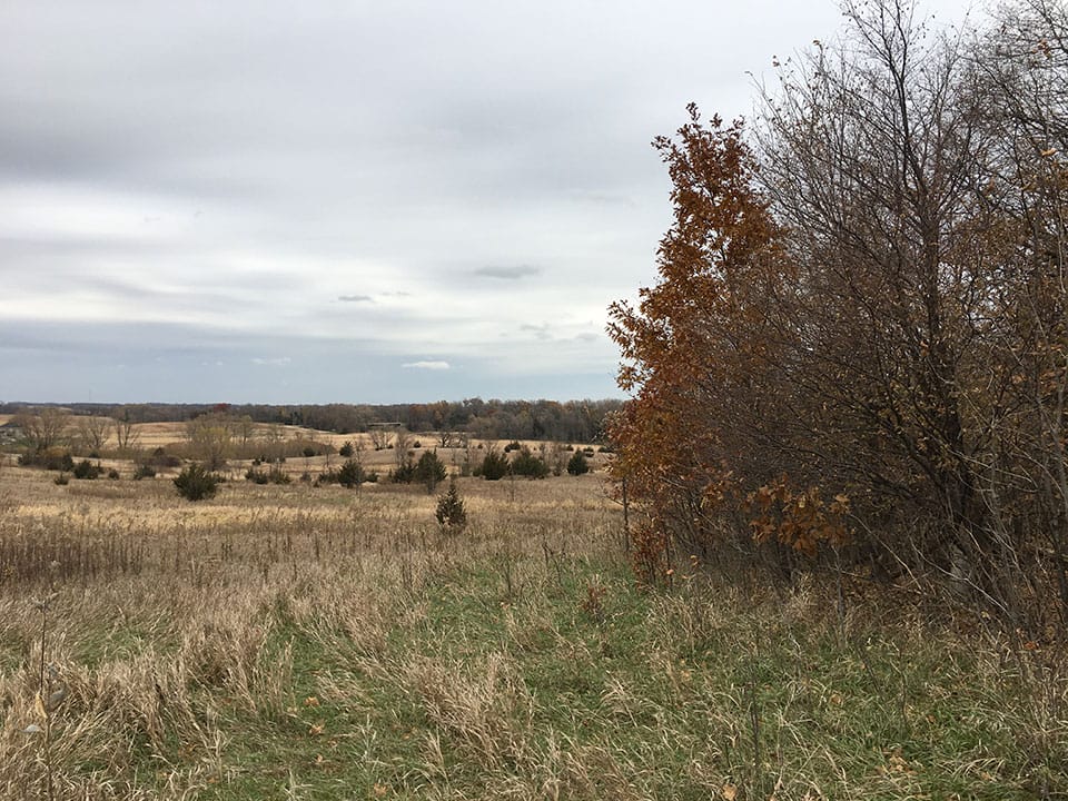
Most recently, The Trust for Public Land acquired and conveyed 72 acres of land to the Minnesota DNR as an addition to Murphy Wildlife Management Area (WMA). Murphy WMA consists of rolling topography of wetland, grassland, and forest habitat, yet it suffers from a management perspective due to multiple units and irregular boundaries. Located directly on the Cannon River just north of Waterville, this addition connects the two units of Murphy WMA, squares up boundaries, and provides improved public access. Murphy WMA offers quality outdoor recreation and hunting opportunities within an hour’s drive of the Twin Cities.
The acquisition was funded by the Outdoor Heritage Fund. The Trust for Public Land helped lead the campaign to establish the Outdoor Heritage Fund as part of the 2008 Legacy Referendum that provides dedicated sales tax funding for the environment.

