Hanning Flat

Hanning Flat featured image

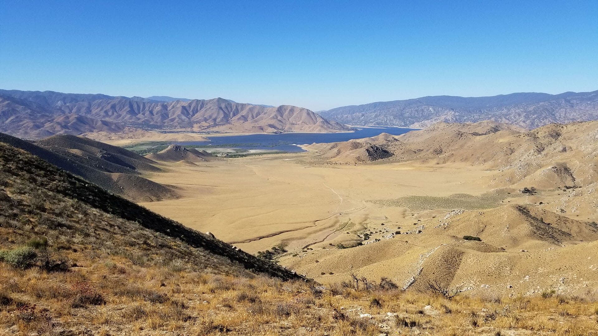
Located where three ecological regions – the Sierra Nevada, Great Basin and Mojave – come together, is the 3,806-acre Hanning Flat property, a property critical for connectivity between the desert and the Sierra Nevada. This rural property was identified for preservation due to its adjacency to four publicly-accessible state and federal conservation preserves, its significant wildlife corridors essential for climate change resiliency, and as a potential burrowing owl re-establishment site due to the gradual sloping grasslands found at the lower elevations.
  
Elevation on the property ranges between 2,700 and 4,850 feet and consists of relatively flat grasslands with intermittent streams and springs draining toward Lake Isabella, steep canyons and headwaters of two watersheds benefiting the surrounding preserves. Protection of the land would benefit critical habitat for many wildlife species including yellow-billed cuckoo, golden eagles, mountain lions and American badger.

Specifically, the property sits adjacent to California Department of Fish and Wildlife’s (CDFW) Canebrake Ecological Preserve, Bureau of Land Management’s Cyrus Canyon Area of Critical Environmental Concern(ACEC), the U.S. Forest Service’s Hanning Flat Recreation Area and Audubon’s Kern River Preserve, a Globally Important Bird Area (IBA). In addition, the property falls under CDFW’s Canebrake Conceptual Area Protection Plan, a State-issued conservation planning document prioritizing the acquisition of essential wildlife corridors.
 
Acquiring lands like this one that are surrounded by public and private conservation preserves makes wildfire management more efficient and effective, and prevents low-density development and the expansion of the wildland-urban interface, reducing risk of property damage and loss of life in future fire seasons. Keeping this property in open space helps our local emergency response agencies to focus their resources in areas already built up to protect life and property from catastrophic wildfires in the region. 

In June 2020, the land was donated to the Kern River Valley Heritage Foundation and protected by several layers of deed restrictions.

The successful acquisition of this land connects the once segregated ecological preserves, opening up numerous wildlife corridors and allowing for seamless public access to the larger conservation lands network. 

Partners:
Kern River Valley Heritage Foundation (KRVHF, a local land trust), Southern Sierra Research Station, Audubon-CA, California Natural Resources Agency

Grantee of:
NFWF’s Resilient Communities program

Map Legend