As streets open to pedestrians, how do cities guarantee access where it’s needed most?
As streets open to pedestrians, how do cities guarantee access where it’s needed most?
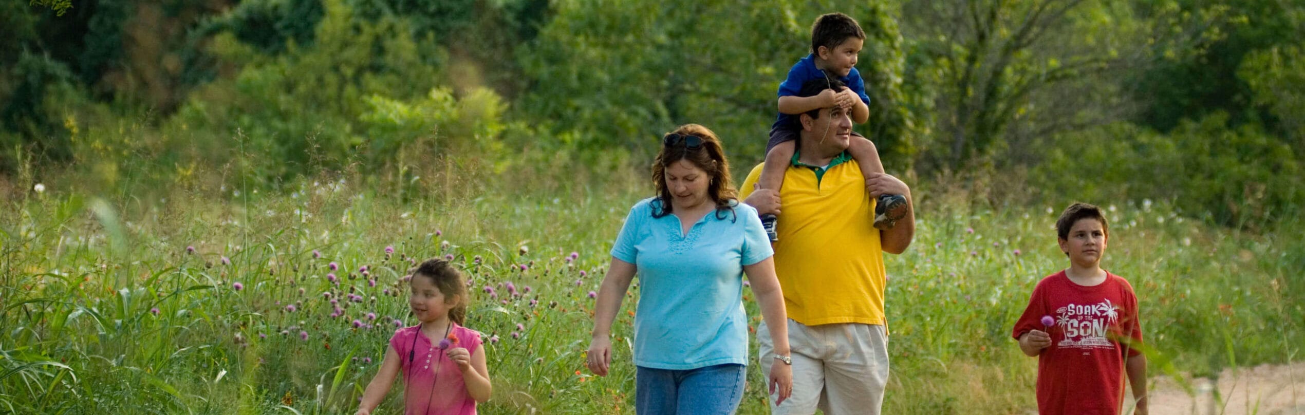
With the coronavirus spreading rapidly through cities, officials around the nation started to look for ways to give cooped-up residents more elbow room. Such traditional public venues as restaurants and theaters were suddenly closed, and even outdoor spaces like playgrounds and ball fields were off limits.
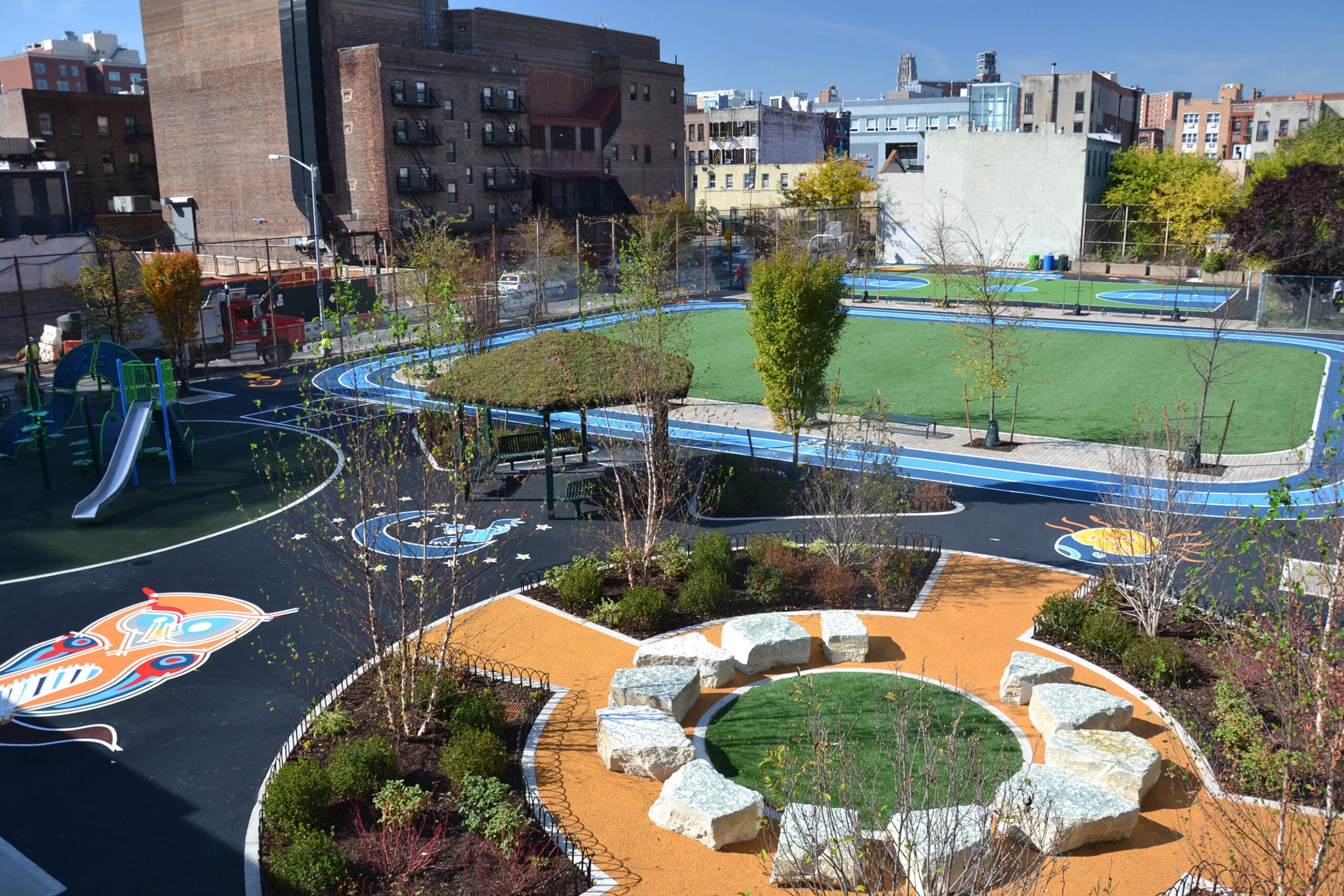
Many cities turned to their streets, closing blocks to vehicle traffic so pedestrians could avoid crowded sidewalks and people on foot and bicycle would have more room to safely enjoy the outdoors while socially distancing.
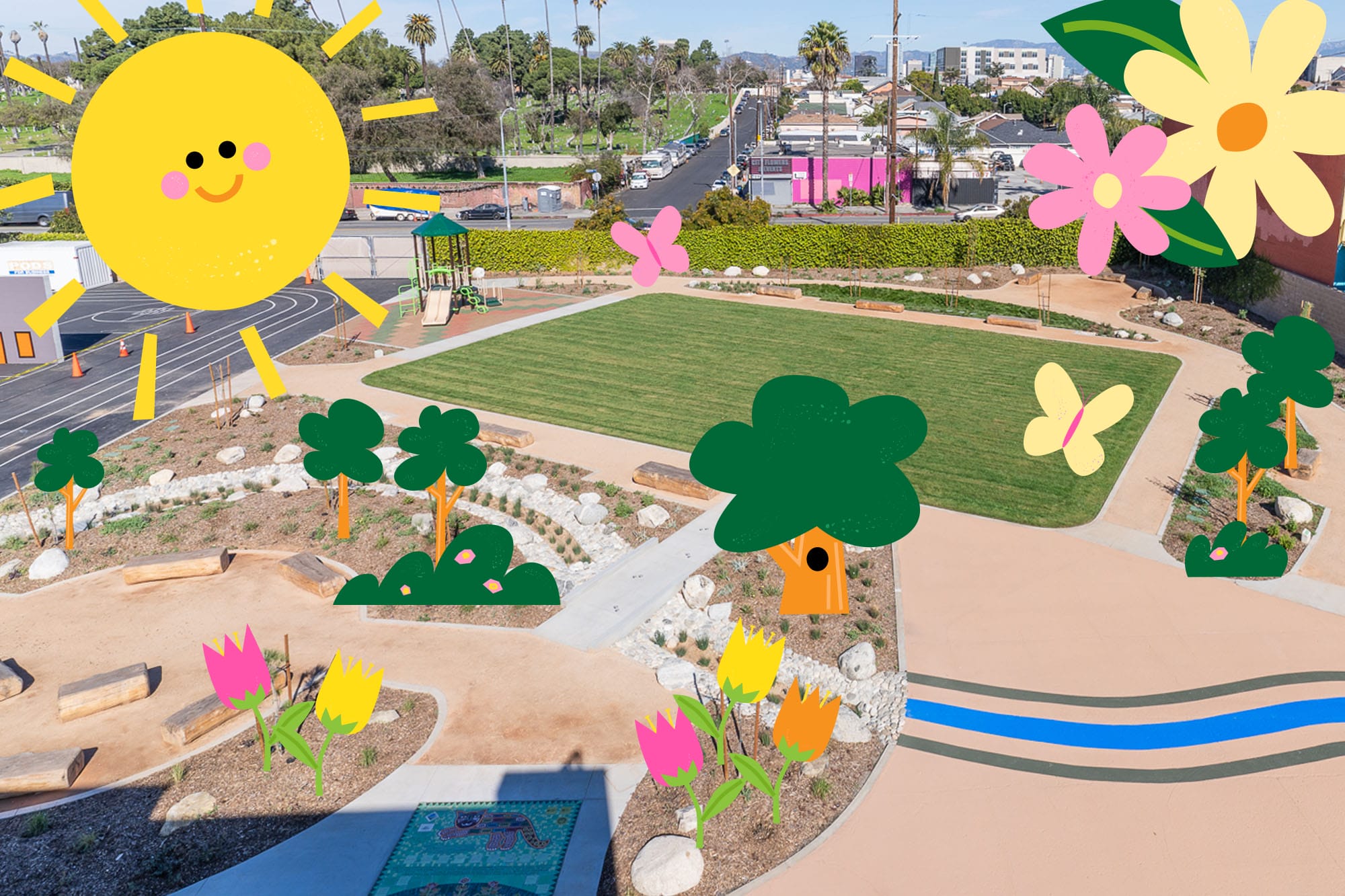
New York City launched a pilot program in March, closing four streets totaling 1.5 miles. The city discontinued the program after eleven days, but residents and advocates—including The Trust for Public Land—urged the city to expand it. In the end, the City pledged to eventually open one hundred miles of roadway.
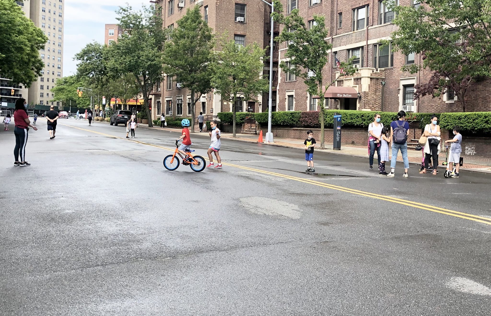
But how exactly should transportation officials in New York choose which streets to include in its Open Streets program (which has so far opened over forty miles of streets and counting)? Our New York State Director Carter Strickland proposed a solution that took into account access to parkland across the five boroughs, as well as population density, income level, and number of children. He asked our Research and Innovation team, which does sophisticated computer modeling using GIS technology to identify neighborhoods in New York that would benefit most from Open Streets.
“We really want to make this a better policy,” Strickland explained. “It’s amazing what the city has been able to do with not a lot of notice so far. But we don’t want them to stop and declare victory at forty miles either. There are over 6,000 miles of streets; surely we can come up with one hundred miles of streets that address park need.”
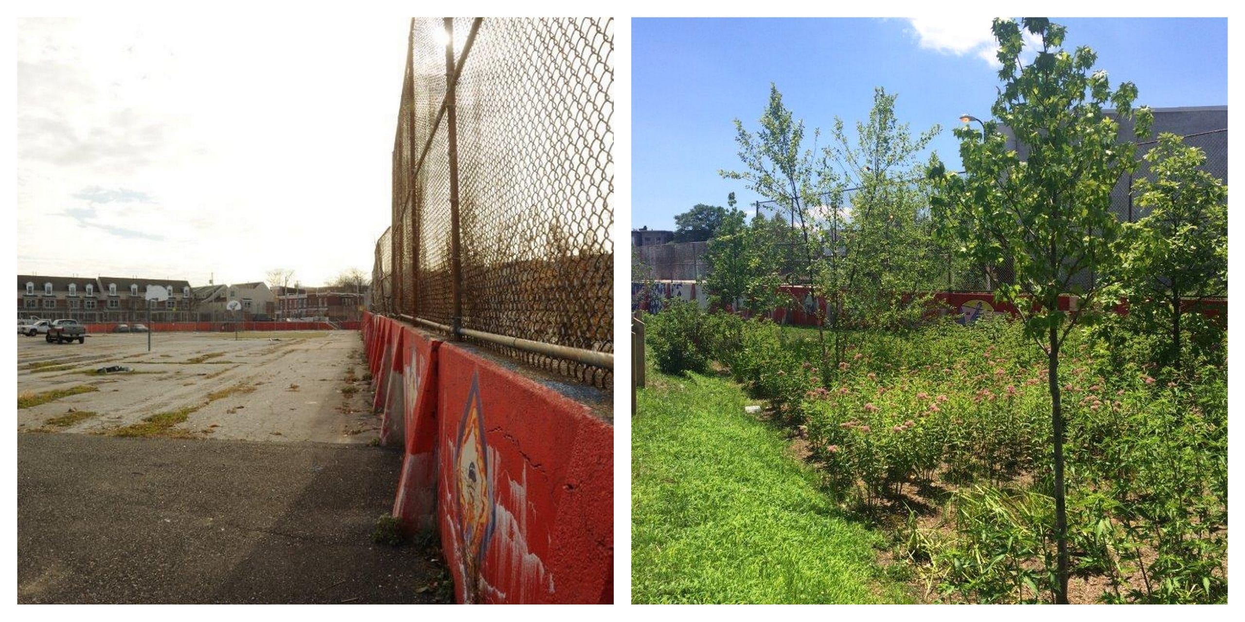
It turned out that central Queens, central Brooklyn, eastern Bronx, and some pockets of Staten Island have the greatest need for open space, after taking into account all the playgrounds, turf fields, botanical gardens, and other areas closed due the pandemic.
Not a single neighborhood in Manhattan rose to the level of park need under our modeling, even though transportation officials had already closed many streets throughout that borough, the city’s most wealthy. Our Research and Innovation experts created a map, which the Daily News reported on last month, delineating neighborhoods lacking park access in yellow, and communities that combine a lack of access with low incomes and high population densities in orange and red.
While the Mayor’s Office has yet to act on the recommended neighborhoods, the City Council has expressed interest, even asking for additional inputs. Kristen Weil, manager of technical research and urban analytics at The Trust for Public Land, said that lawmakers wanted to know, for instance, which neighborhoods had the highest number of COVID-19 cases.
“We were able to find data on COVID cases by zip code so that really drills down to neighborhoods that have been hardest hit,” Weil said, adding that she is now refining the maps further by including other opportunities for open space, like golf courses and cemeteries.
“Beyond the Open Streets program, what are some other clever ways of increasing open-space access this summer?” Weil said. “That was a collaborative question asked by both The Trust for Public Land and the City Council.”
(Open streets, one-way trails, and voluntary sign-ups: Read Five ways park people are getting creative to #RecreateResponsibly during COVID-19.)
Strickand hopes that the decision-making around the remaining 60 miles of streets is informed not by worries about traffic, but by concern for park access.
“I think it was a car-centered policy,” he said of the approach to picking the forty miles of streets in the program so far. “Part of their consideration was not to disturb traffic too much, not that there is any traffic right now. And when you juxtapose the city’s map with our own, that’s what we showed. In fact, where you see the greatest park need, there are almost no open streets.”
Jon Orcutt, advocacy director of Bike New York, echoed the importance of taking park access and demographic factors into account when identifying neighborhoods for the Open Streets program.
“It makes sense,” he said. “It’s not rocket science to look at who doesn’t have open space and try to assign some. I thought it was a great guide for the rest of the program. It’s something the city could pull off overnight.”
Want to learn more about how the pandemic is affecting parks—and people—across the country? Download “Parks and the Pandemic,” a special report from The Trust for Public Land.
One-third of Americans, including 28 million children, lack safe, easy access to a park within a 10-minute walk of home. Urge your senators to allocate funding to create parks and enhance outdoor recreational opportunities by championing the Outdoors for All Act today!

Donate to become a member, and you’ll receive a subscription to Land&People magazine, our biannual publication featuring exclusive, inspiring stories about our work connecting everyone to the outdoors.
See how our supporters are helping us connect people to the outdoors across the country.