The Undeniable ROI of Community Parks and Green Spaces
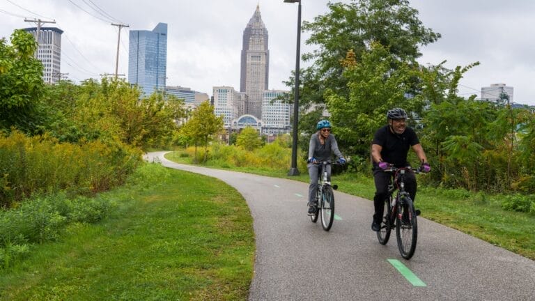
This year’s annual ParkScore® report reveals that every $1 invested in parks and programming yields at least $3 in benefits.
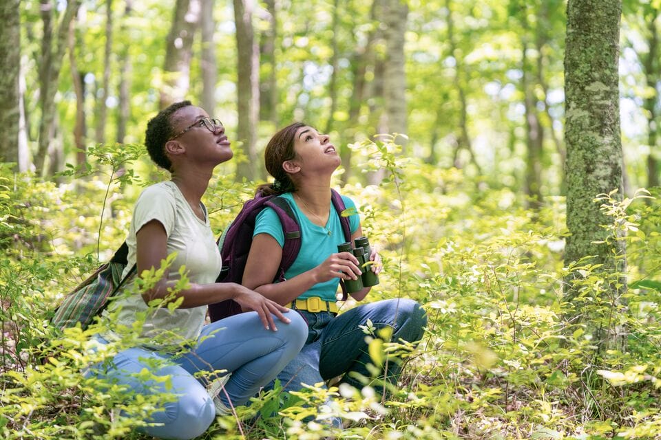
When we conserve landscapes where people can connect with the wonder and benefits of nature, we often also preserve bird habitats and migration routes that are increasingly threatened by growth and development. Join us in celebrating our winged neighbors and supporting the many (and shifting) places they call home.

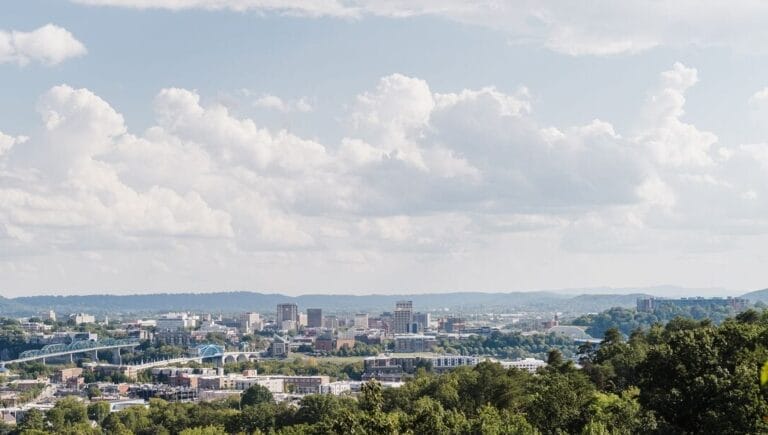
Not so long ago, in 1969, Chattanooga, Tennessee, carried a reputation no city wants: “Dirtiest City in America.” But through strong partnerships and lots of hard work, the city has earned a new banner as North America’s first National Park City. The title recognizes and conveys a commitment to public wellness through access to nature. Learn how TPL helped it get there.

Close your eyes and think about where you are happiest outside. For many of us, the places that hold our fondest memories are our national parks. Whether you’re watching the sun light up Yosemite’s granite walls or wandering through a forest of towering saguaros, these landscapes have a way of inspiring awe. But they don’t stay this spectacular by accident.

Through the Alliance for Civil Rights Historic Sites, Trust for Public Land is partnering with the National Park Service to open and activate eight irreplaceable sites in the South that had seminal roles in the civil rights movement.
Read the latest insightful, inspirational, real-life stories that demonstrate the heart of our organization and the people who support us.